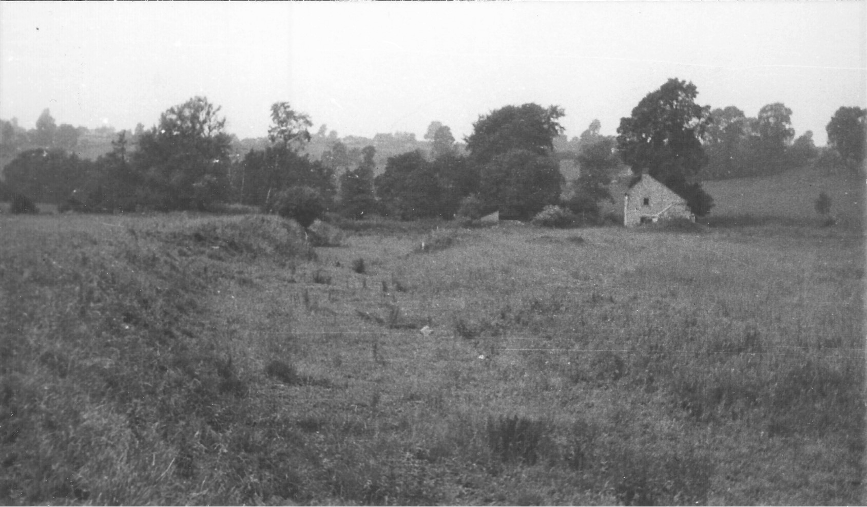
-
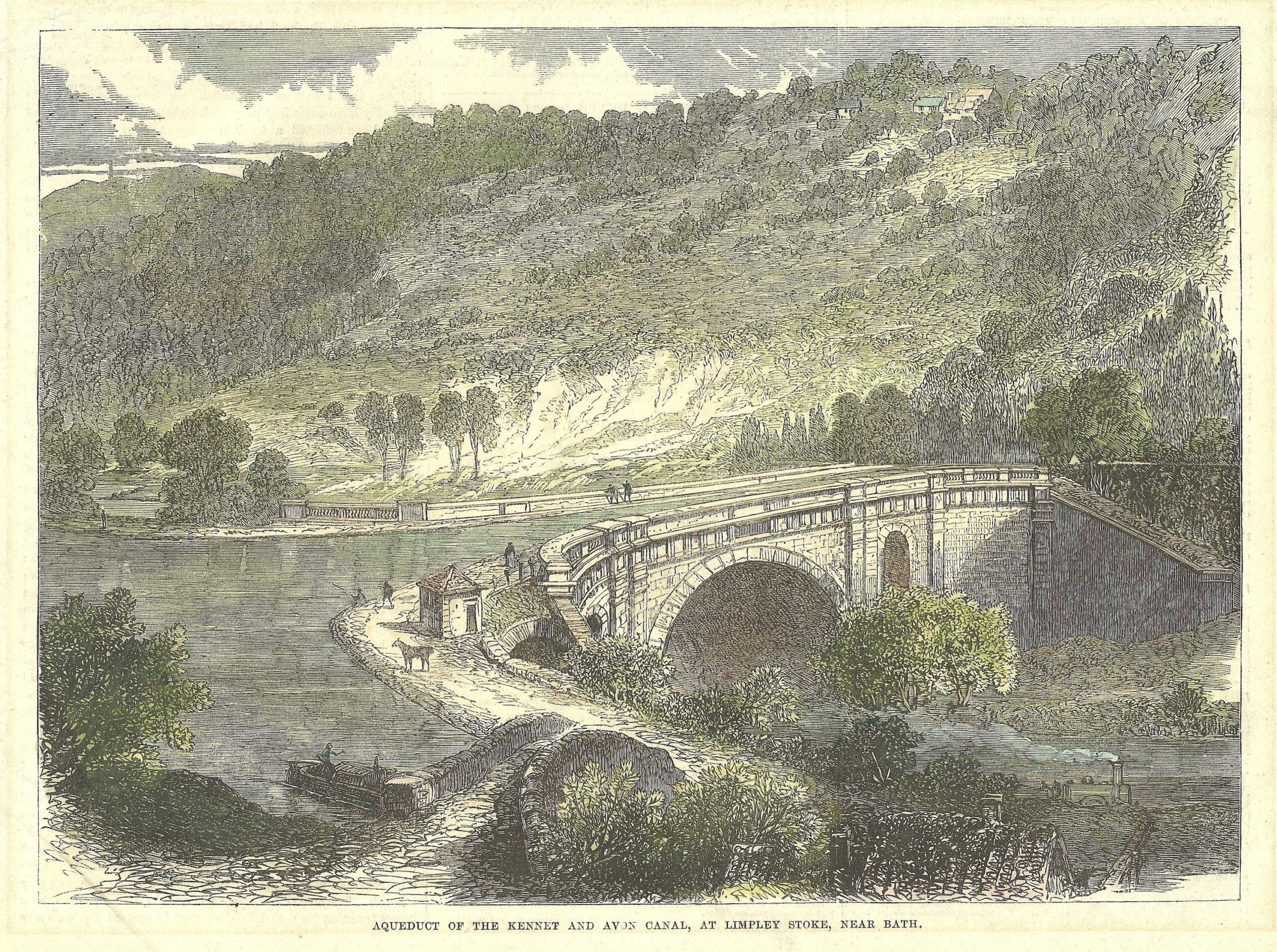
K&A Aqueduct, Dundas, 1864
-
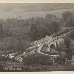
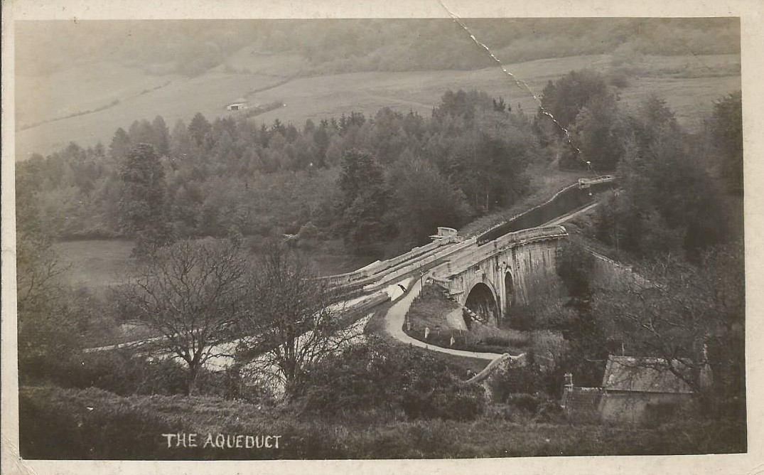
The Aqueduct, Dundas, c.1900
-
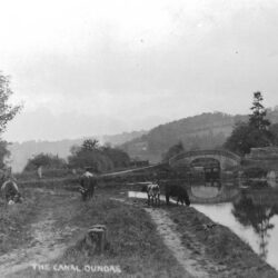
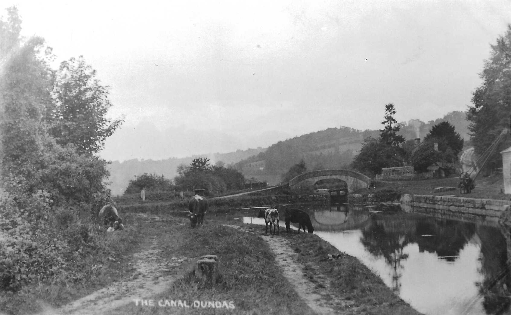
The Canal, Dundas, c.1900
-
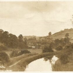
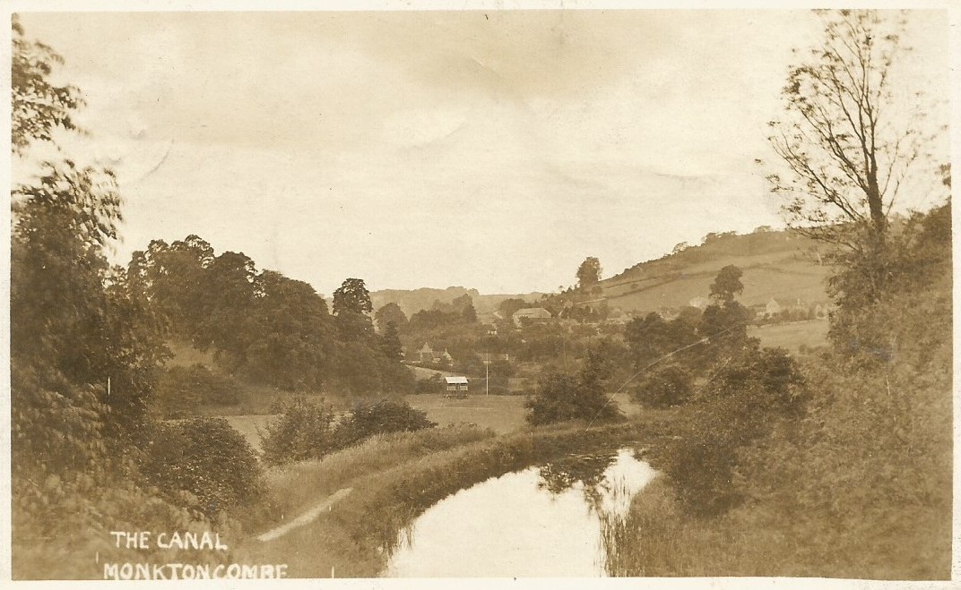
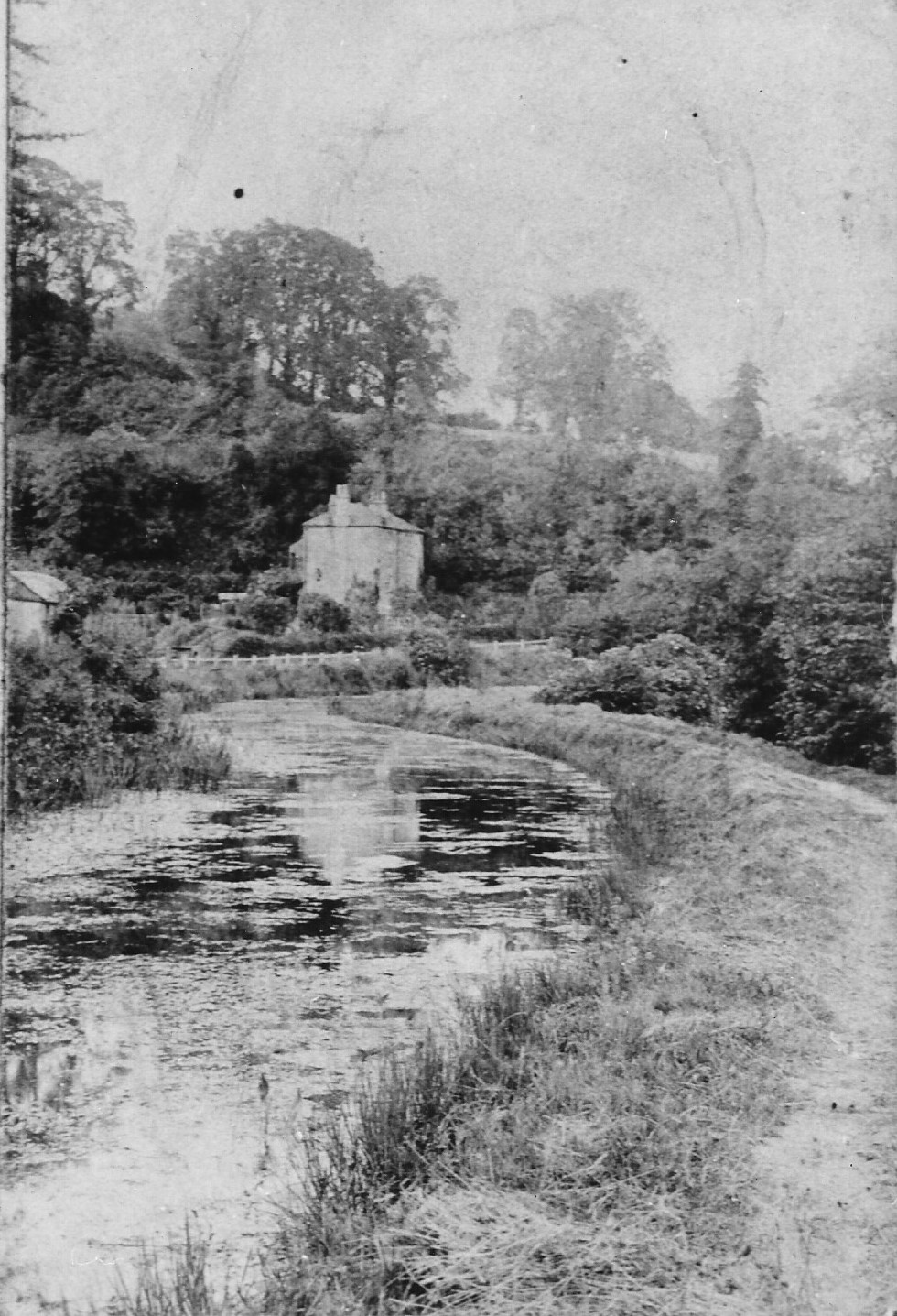
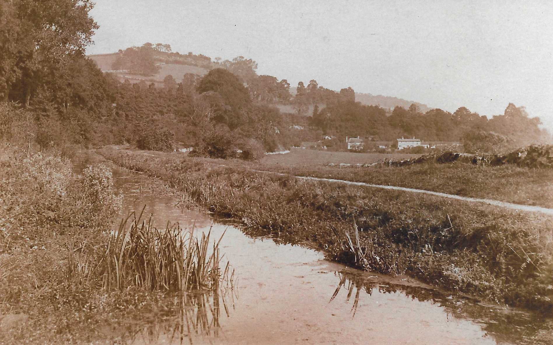
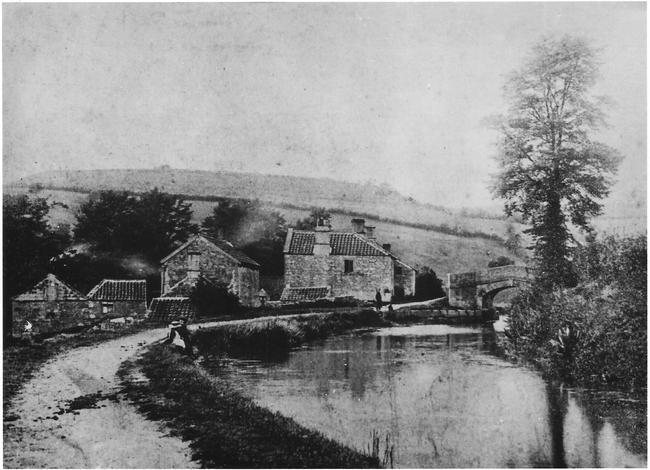
The Canal, Monkton Combe, c.1890
-
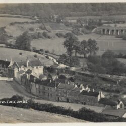
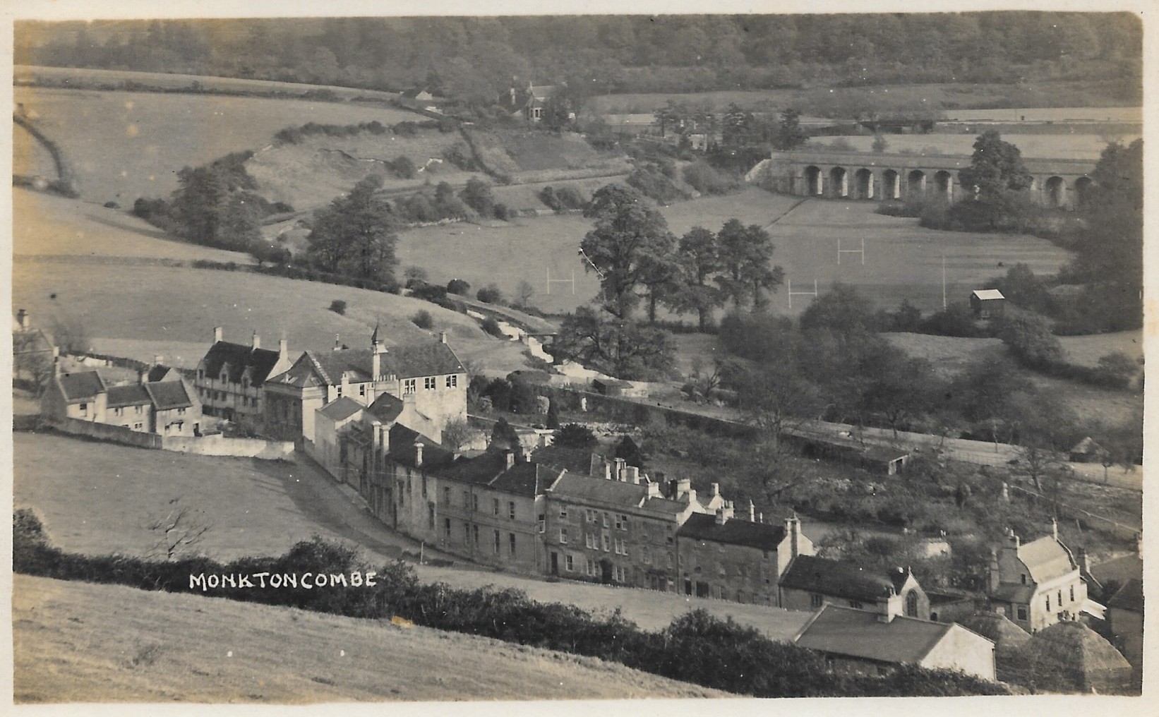
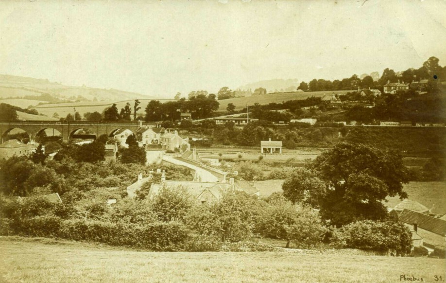
Monkton Combe, c.1900
-
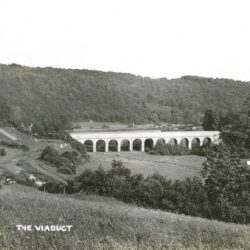
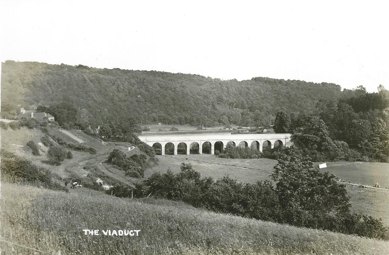
The Viaduct, Monkton Combe, c.1905
-
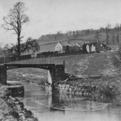
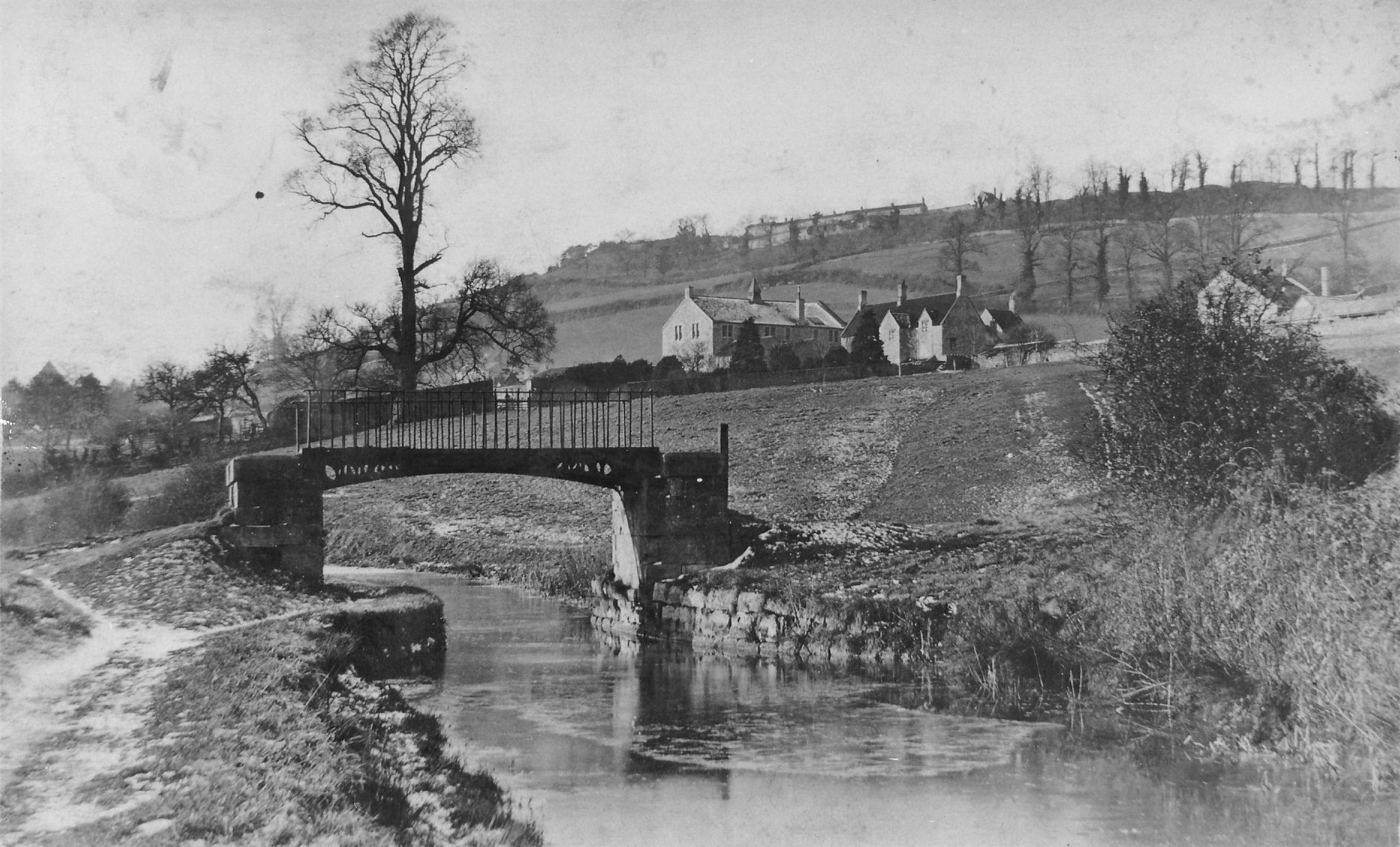
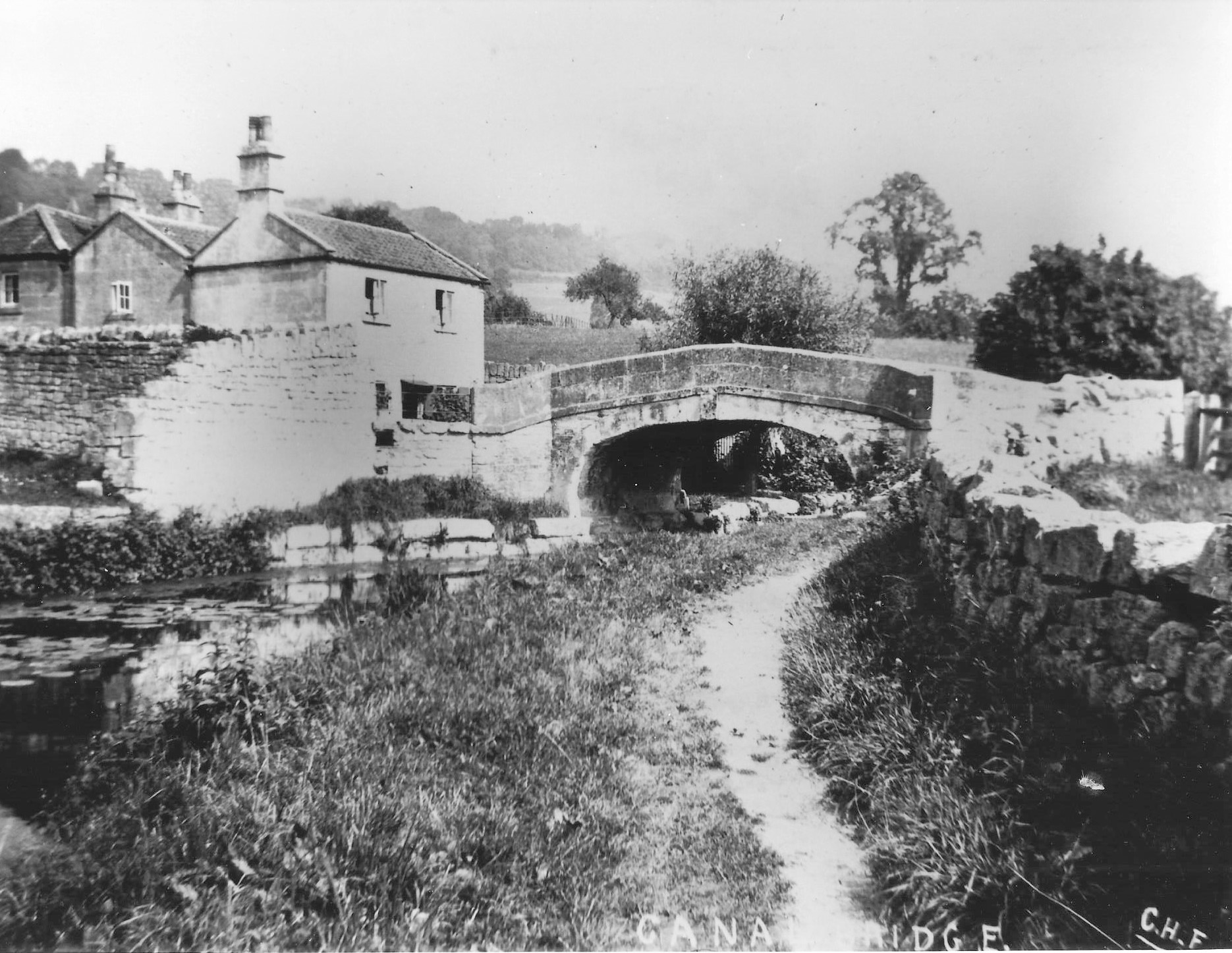
Canal Footbridge, Monkton Combe, c.1890
-
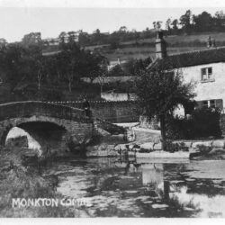
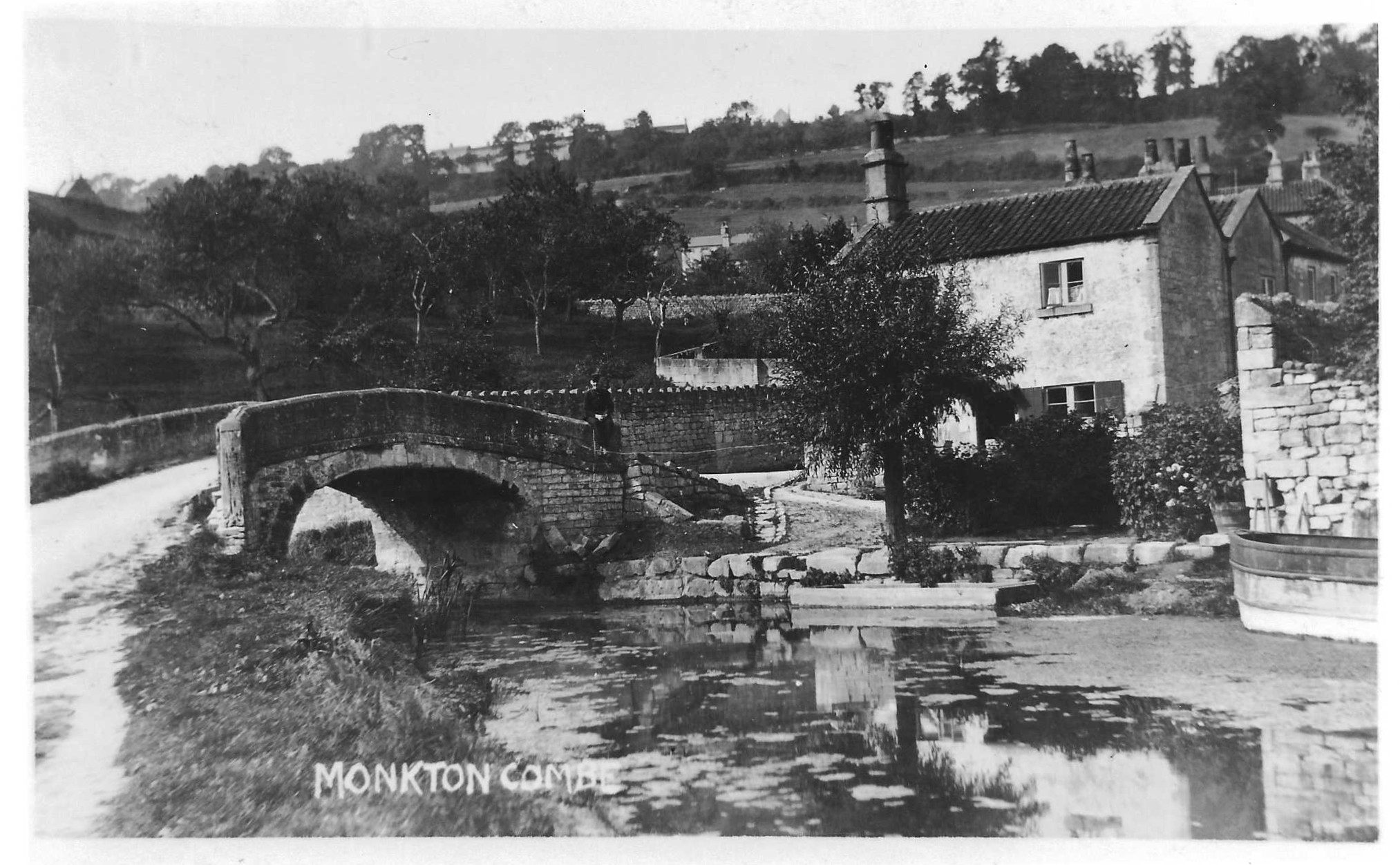
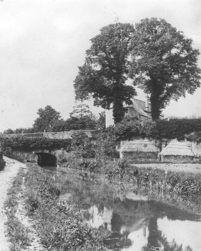
Mill Lane Bridge, Monkton Combe, c.1900
-
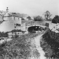
Mill Lane Bridge, Monkton Combe, c.1899
-
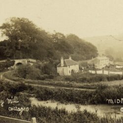
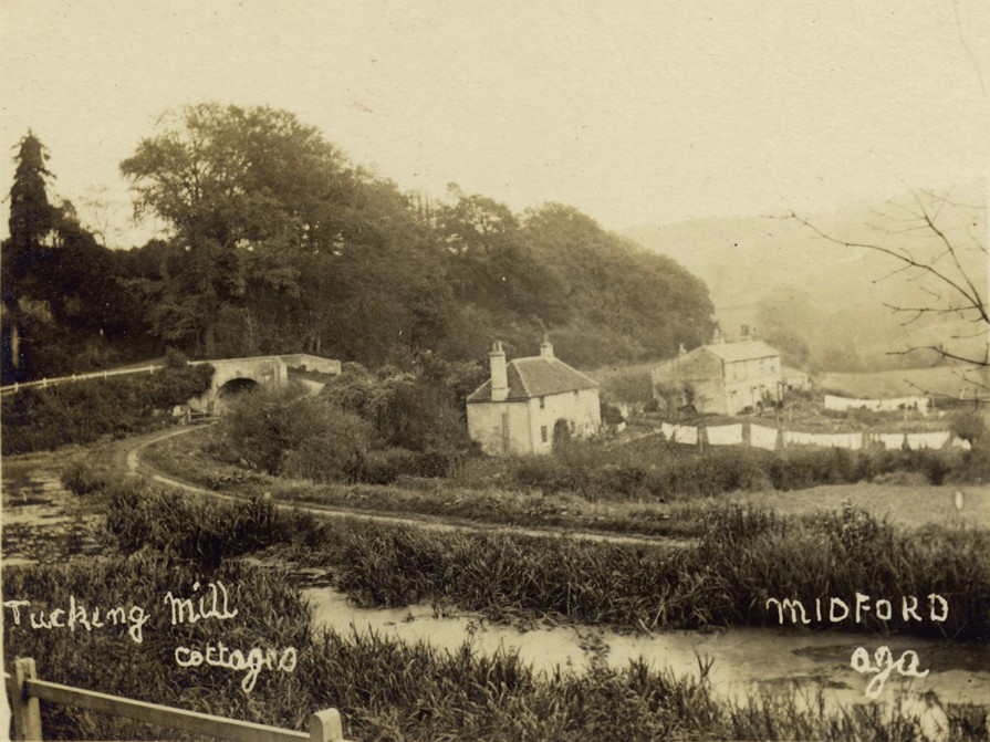
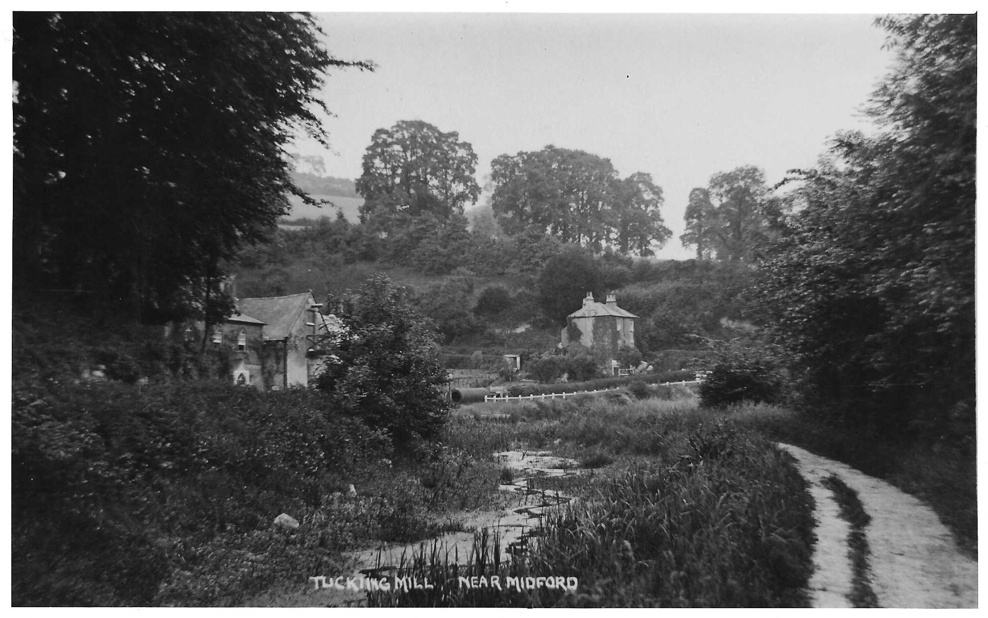
Tucking Mill, c.1905
-
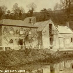
Tucking Mill, c.1900
-
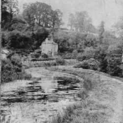
Tucking Mill, c.1895
-
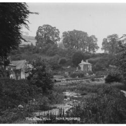
Tucking Mill, c.1905
-
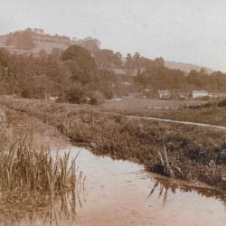
Tucking Mill, c.1905
-
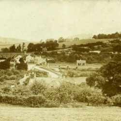
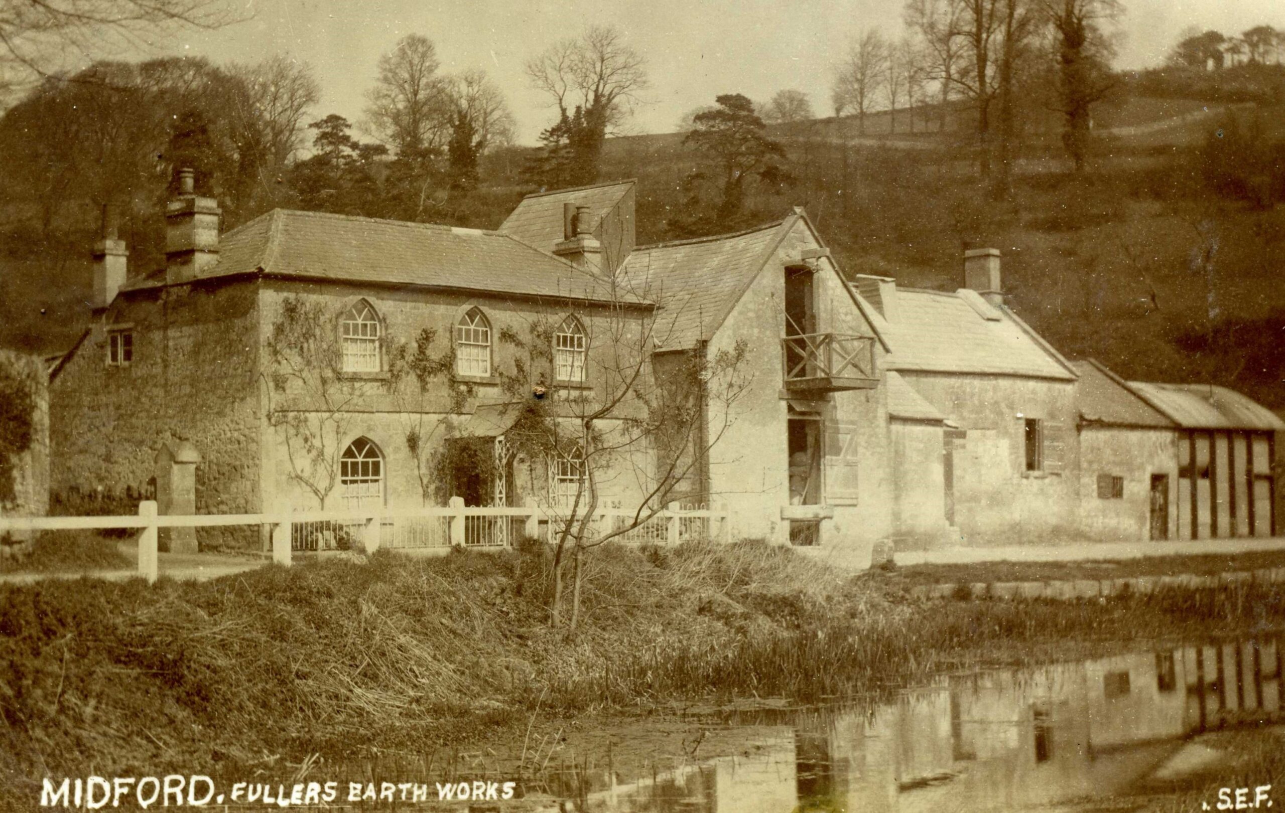
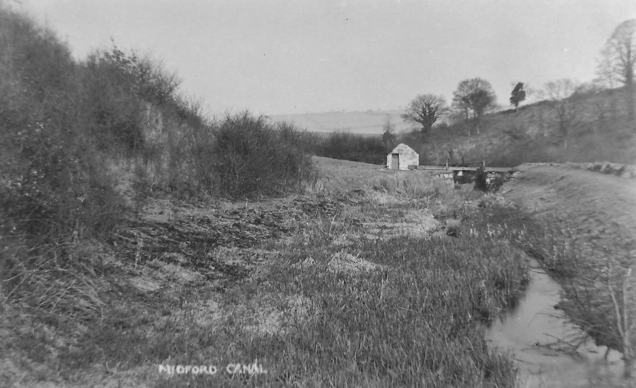
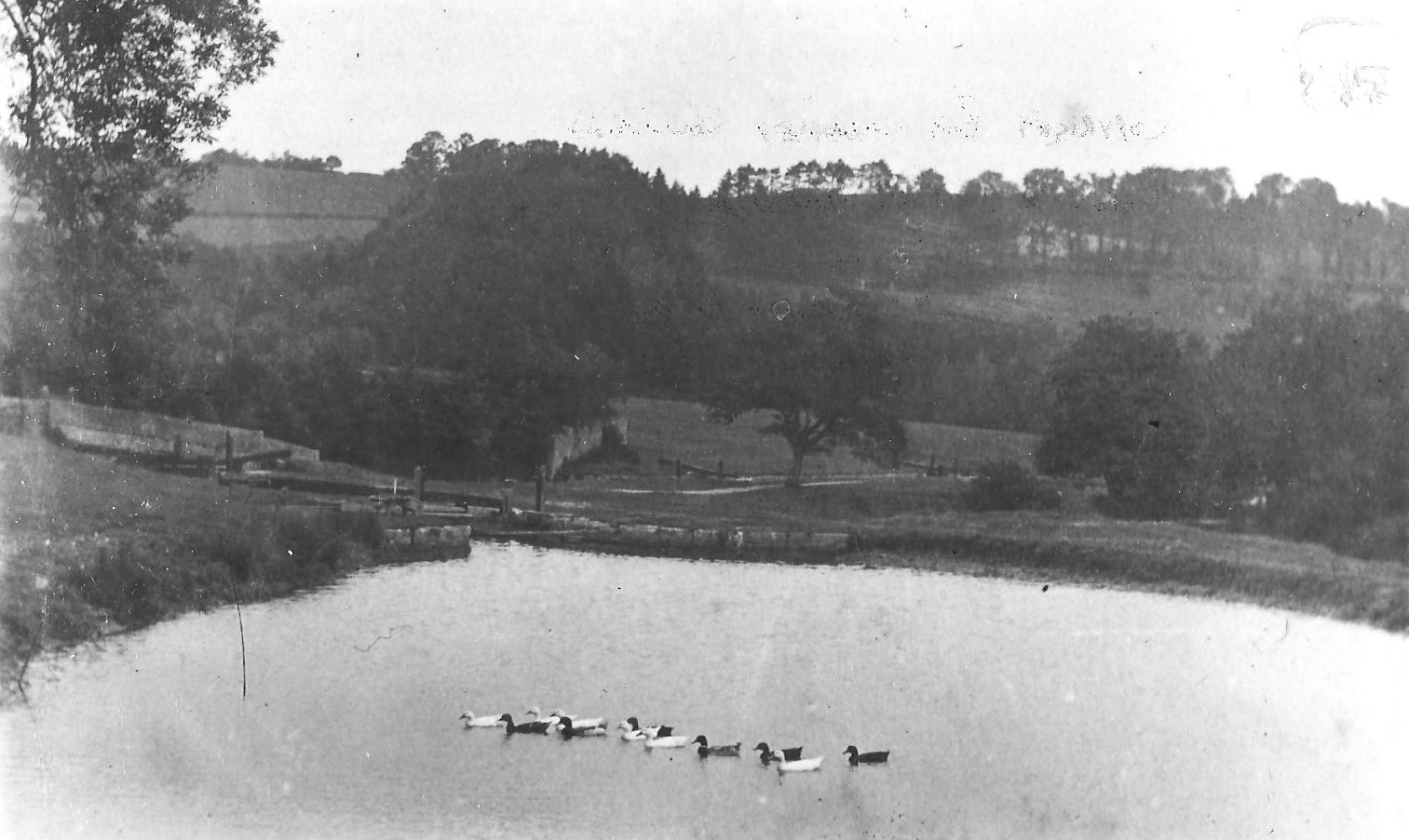
Midford, c.1900
-
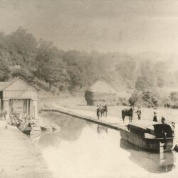
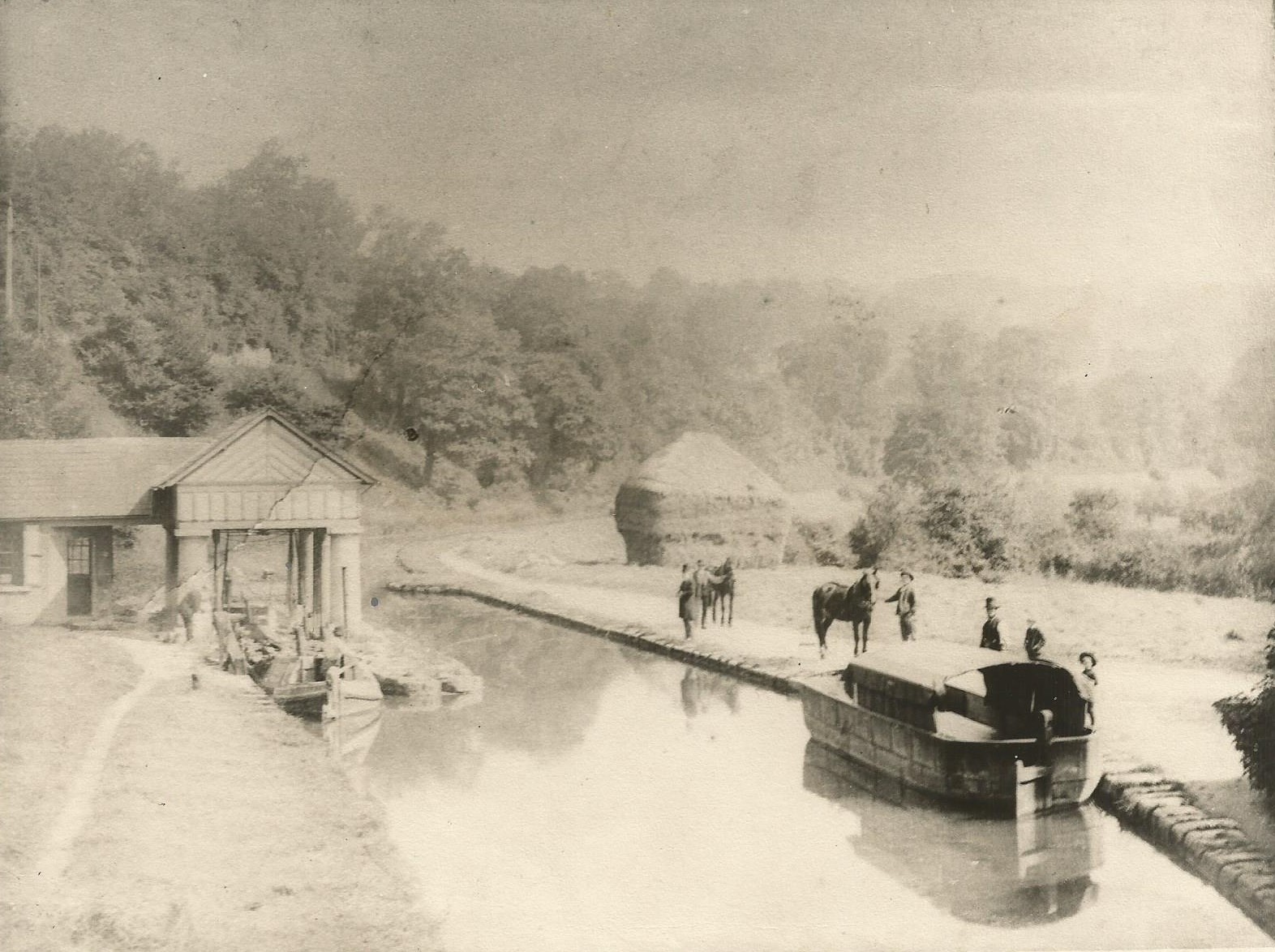
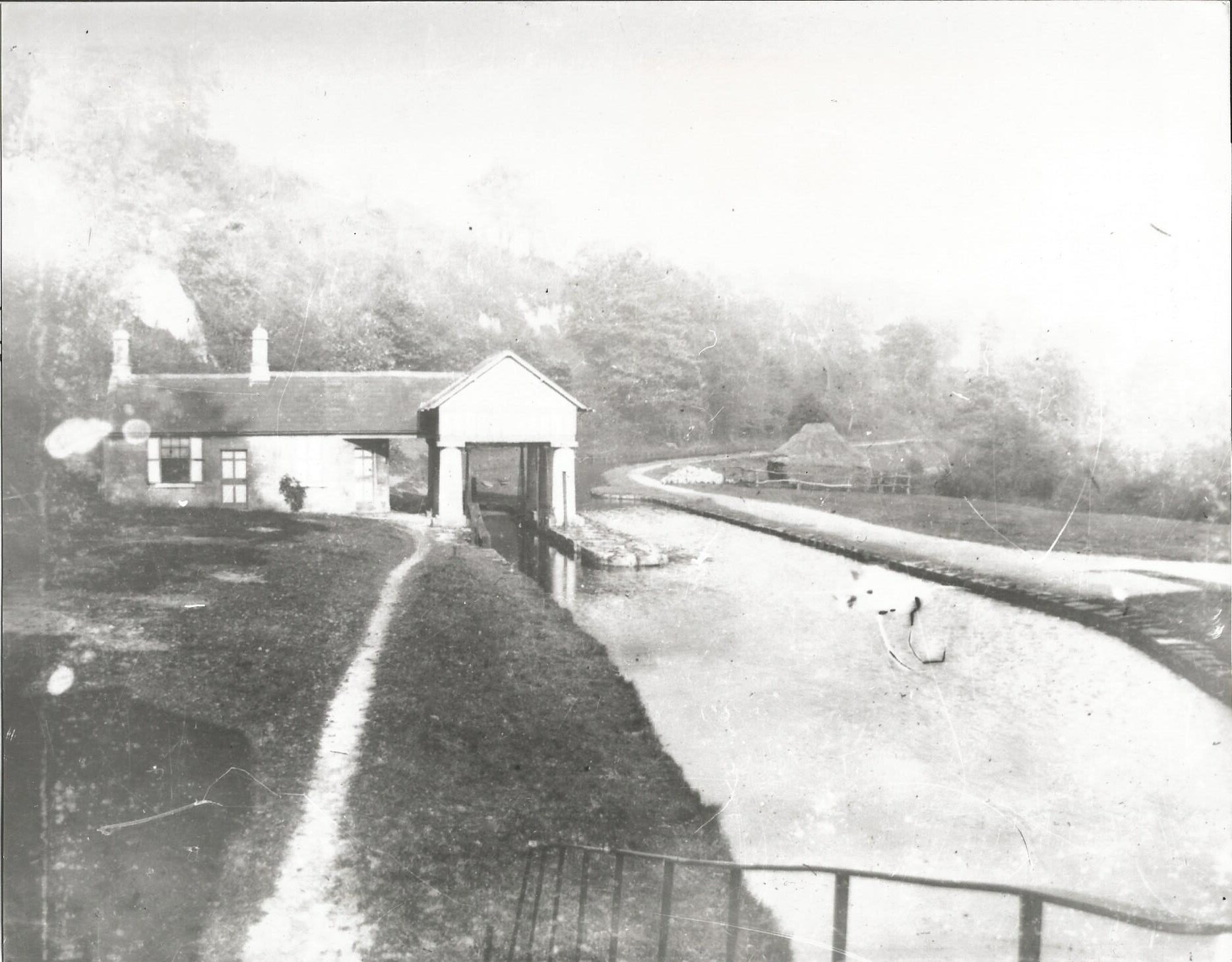
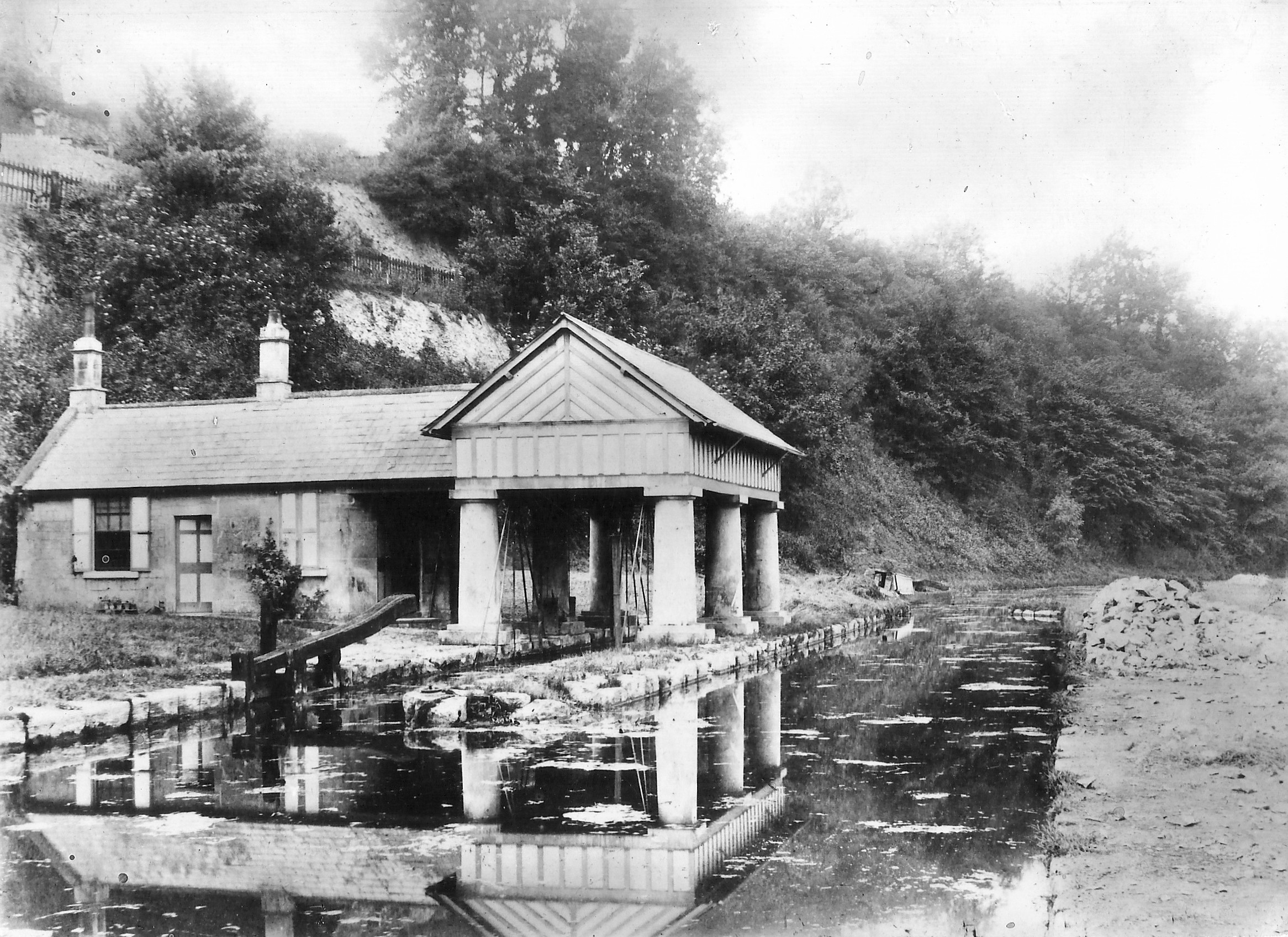
Weigh-House, Midford, c.1870
-
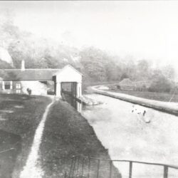
Weigh-House, Midford, c.1870
-
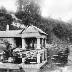
Weigh-House, Midford, c.1890
-
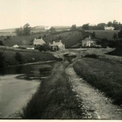
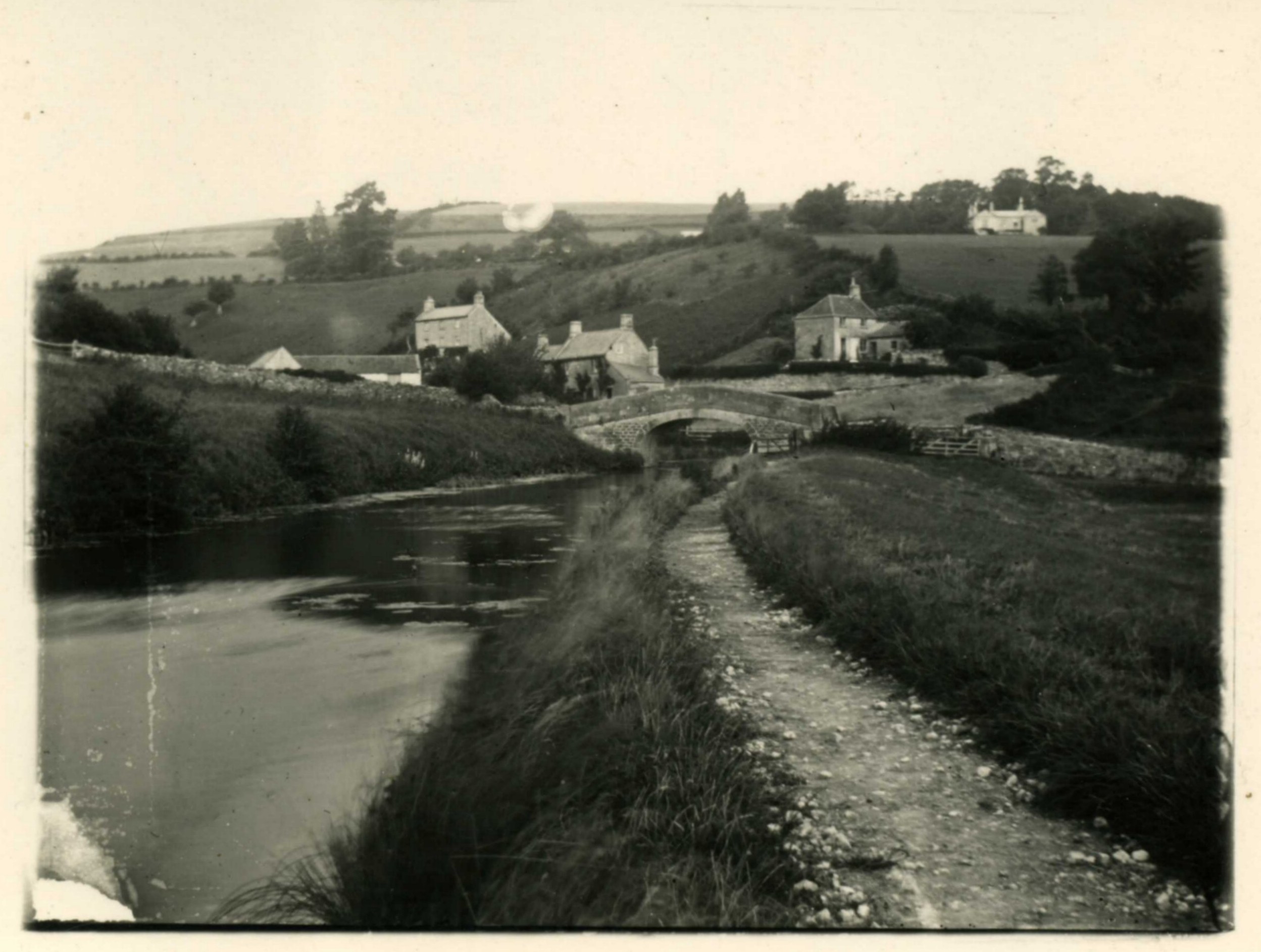
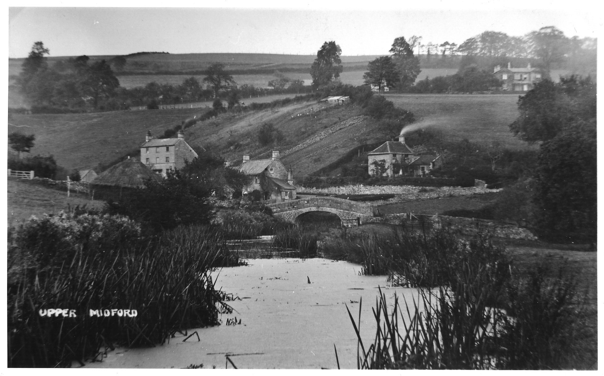
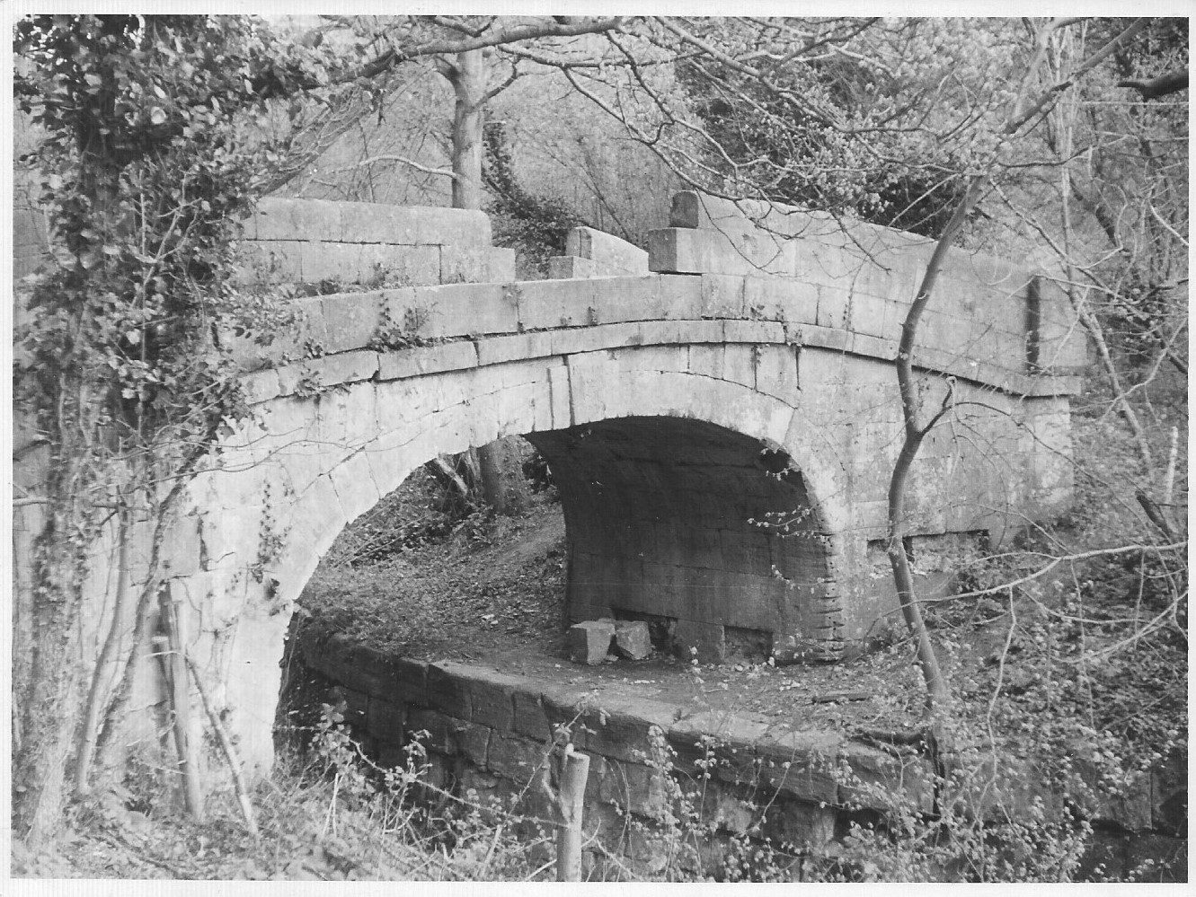
Upper Midford, Bridge, c.1890
-
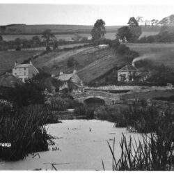
Upper Midford, Bridge, c.1900
-
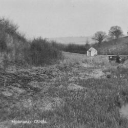
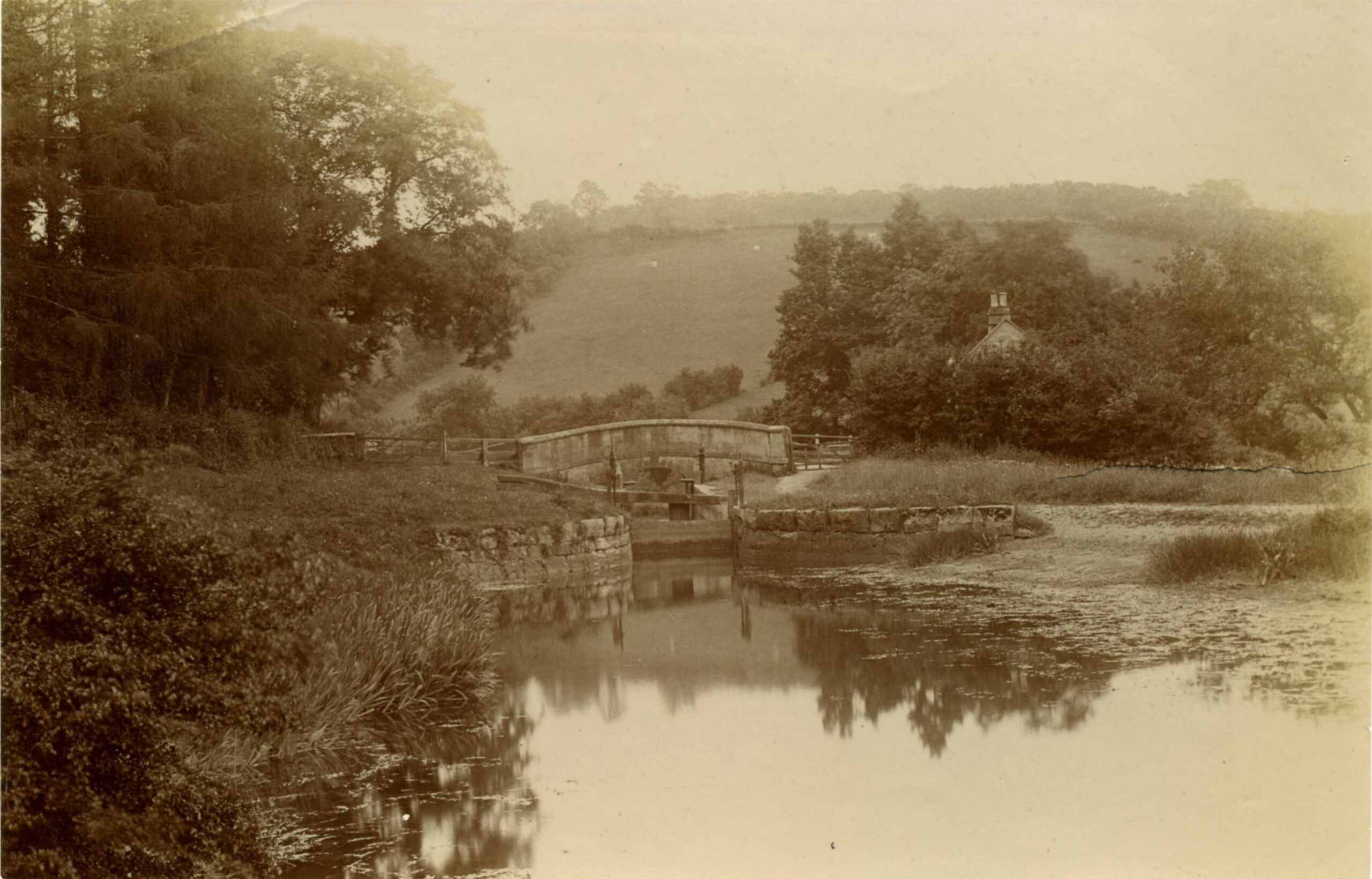
Lock 20, South Stoke, c.1900
-
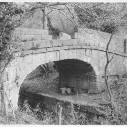
South Stoke, Bridge, c.1960
-
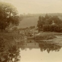
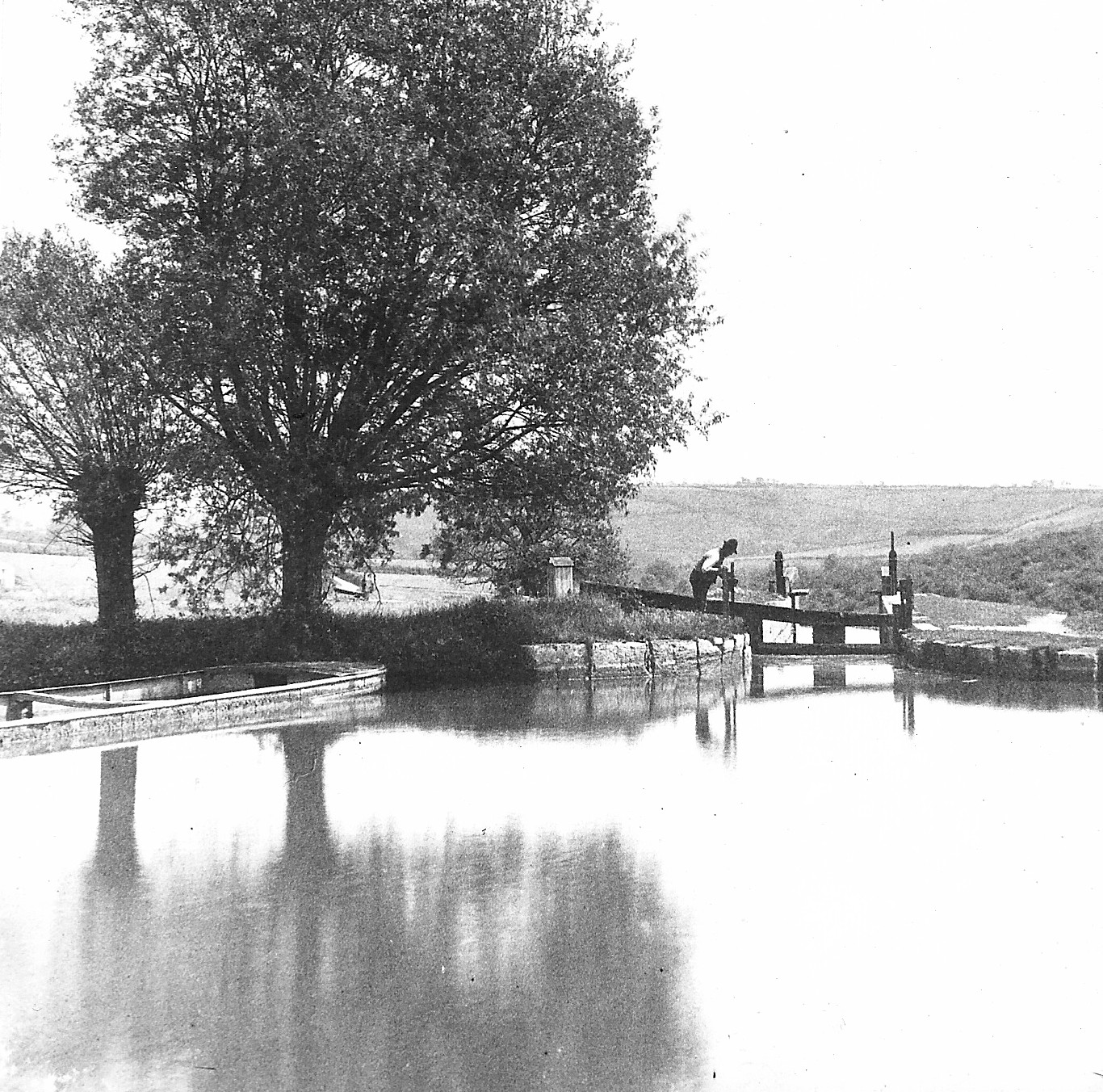
Lock 16, Combe Hay Flight, c.1895
-
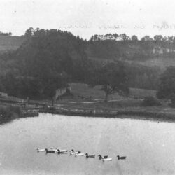
Locks 5 & 6, Combe Hay Flight, c.1890
-
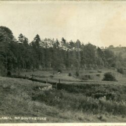
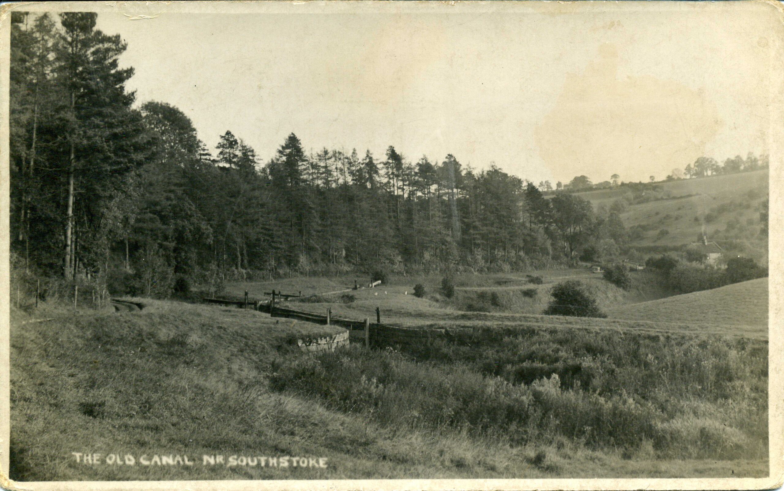
The Old Canal, Near South Stoke, c.1905
-
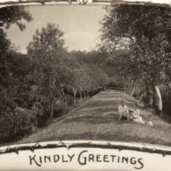
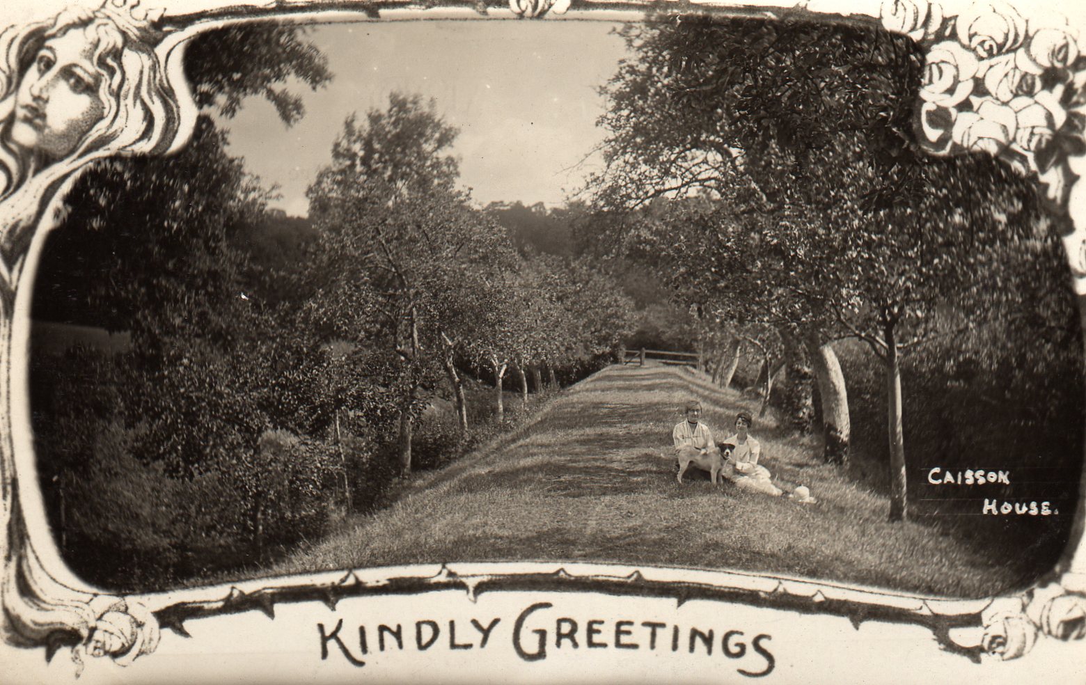
Disused Canal Cut, Caisson House, Combe Hay, c.1900
-
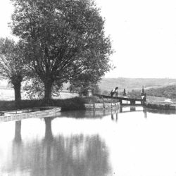
Lock, Combe hay Flight, c.1880
-
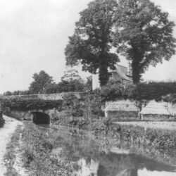
Canal Tunnel, Combe Hay, c.1880
-
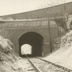
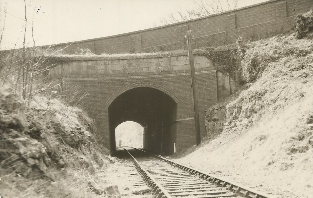
Railway Tunnel, Combe Hay, c.1910
-
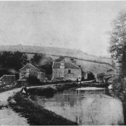
Fosse Road Bridge, Dunkerton, c.1900
-
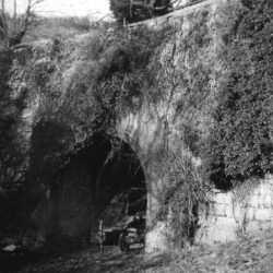
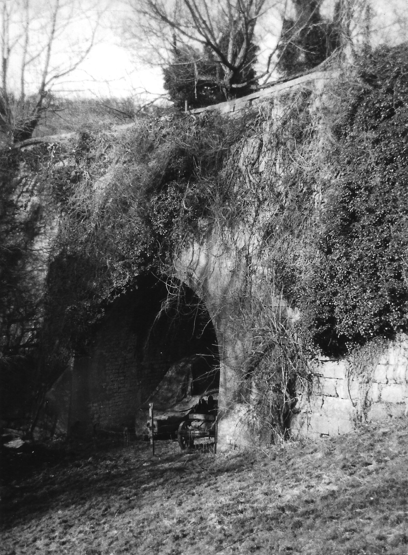
Aqueduct, Dunkerton, c.1960
-
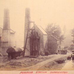
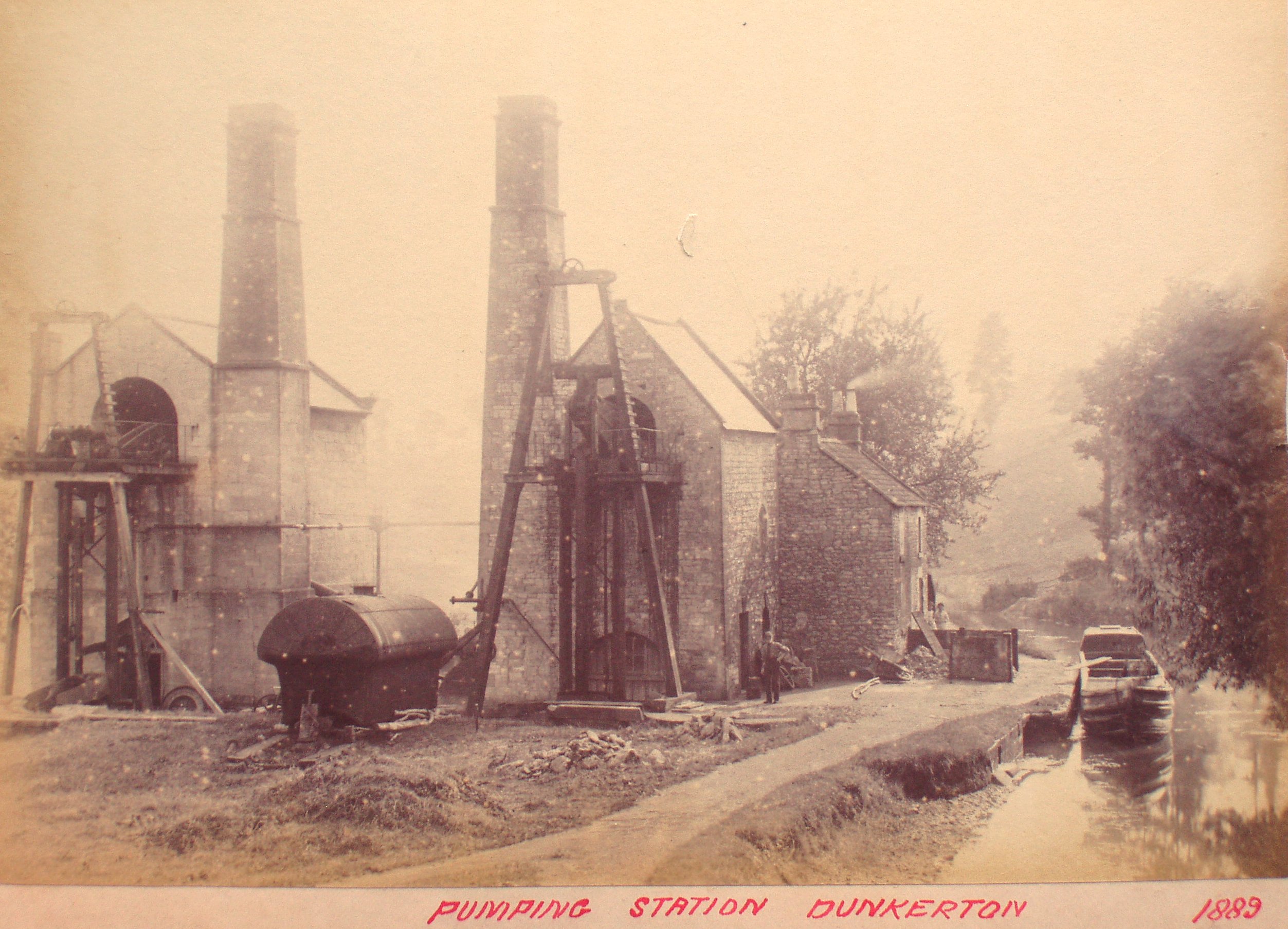
Pumping Station, Dunkerton, 1889
-
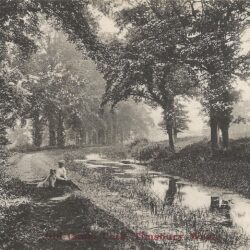
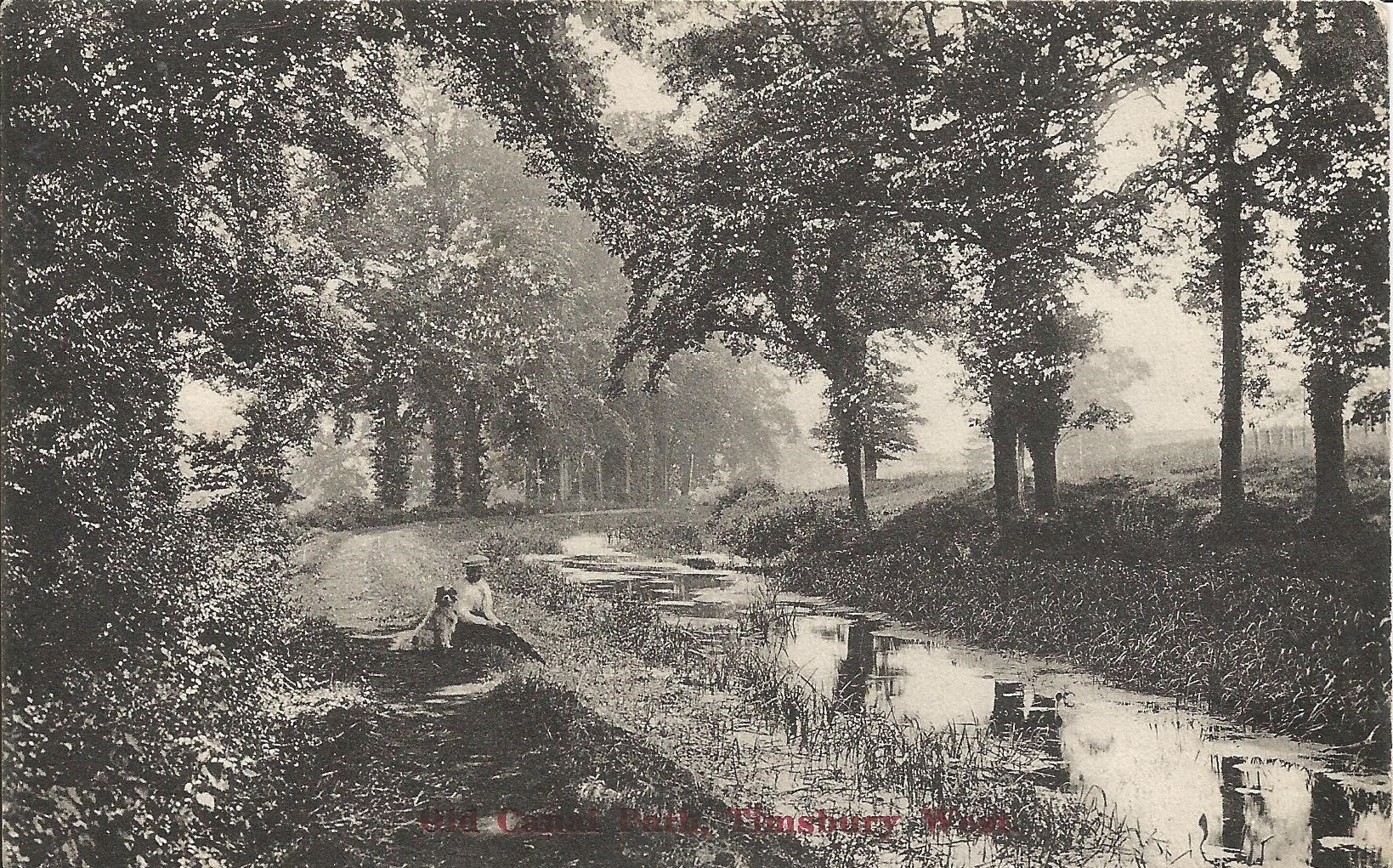
Old Canal Path, Timsbury Wood, c.1905
-
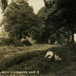
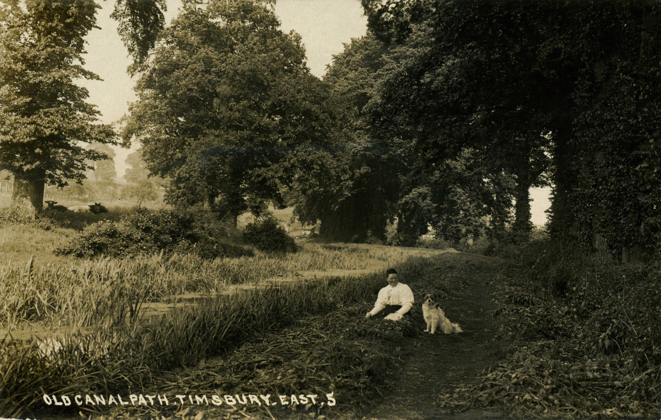
Old Canal Path, Timsbury East, c.1905
-
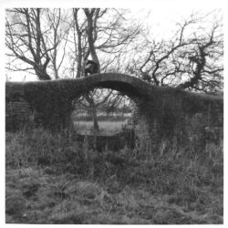
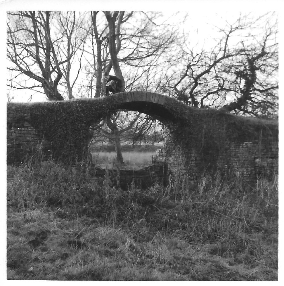
Dry Dock Bridge, Paulton Basin, c.1964
-
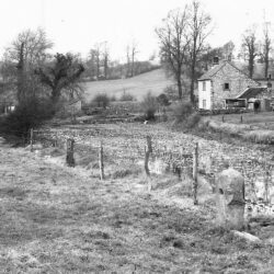
Timsbury Basin, 1951
-
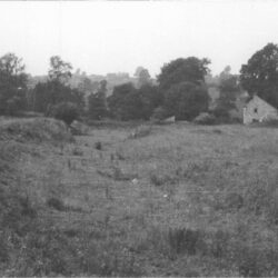
Timsbury Basin, c.1960
-
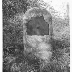
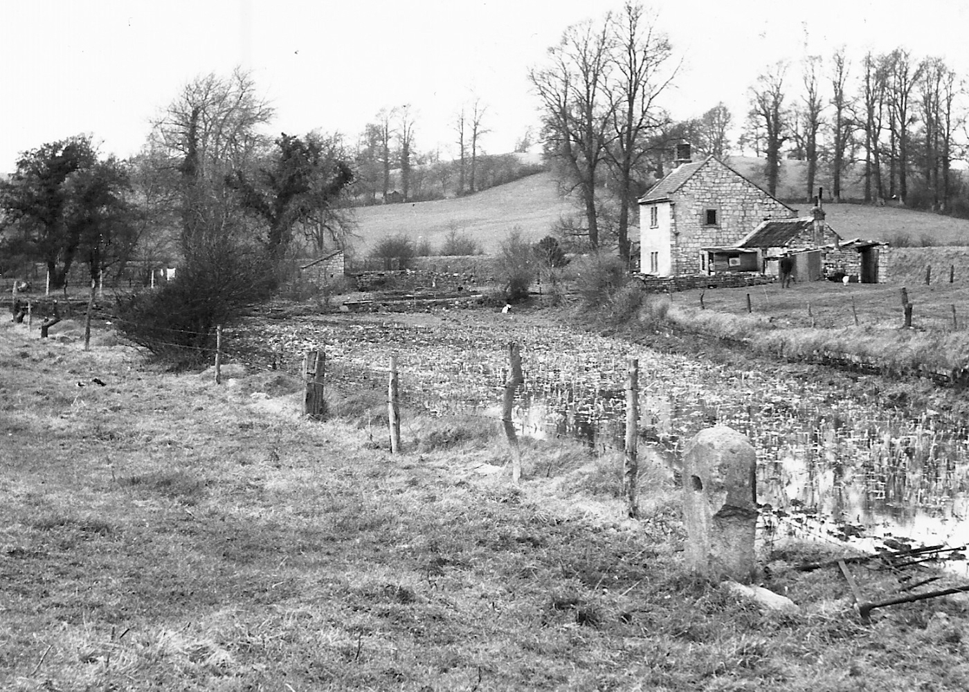
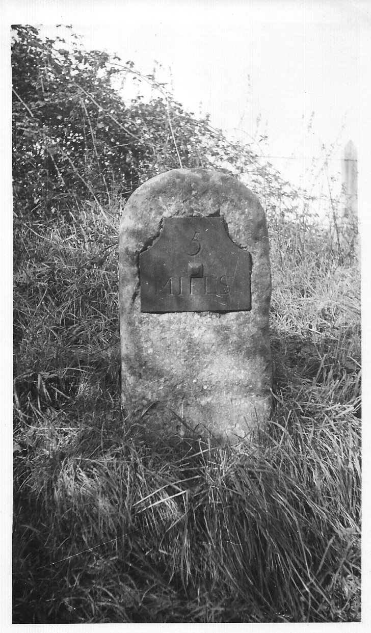
5 Mile Stone, c.1960
-
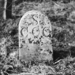
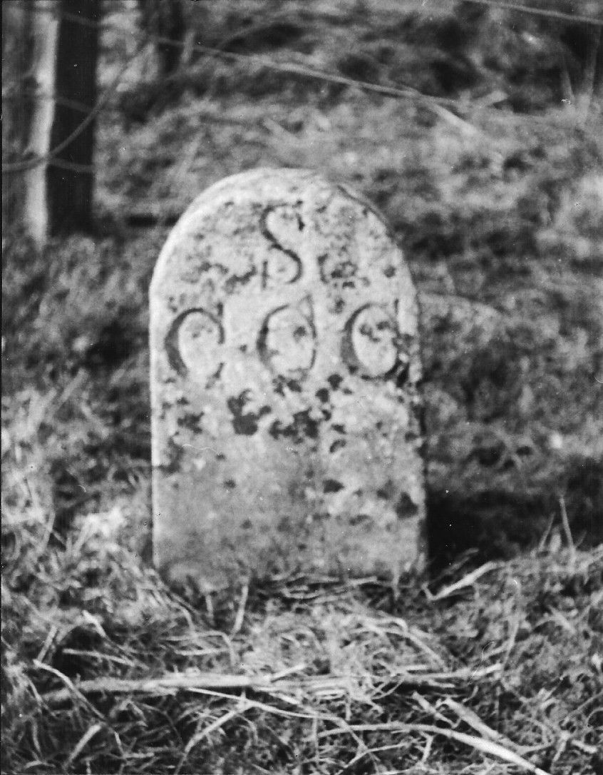
Canal, Boundary Stone, c.1960